فایل:Nouvelle-Calédonie collectivity location map centered.svg

حجم پیشنمایش PNG این SVG file:۷۸۴ × ۶۰۰ پیکسل آیری کیفیتلر: ۳۱۴ × ۲۴۰ پیکسل | ۶۲۸ × ۴۸۰ پیکسل | ۱٬۰۰۴ × ۷۶۸ پیکسل | ۱٬۲۸۰ × ۹۷۹ پیکسل | ۲٬۵۶۰ × ۱٬۹۵۸ پیکسل | ۱٬۰۱۷ × ۷۷۸ پیکسل.
فایلین اصلی (SVG فایلی، ۱٬۰۱۷ × ۷۷۸ پیکسئل، فایلین اؤلچوسو: ۱۴۴ کیلوبایت)
قیساسی
| مختصات دوربین | | محل قرارگیری این نگاره و سایر نگارهها در: نقشهٔ شهری باز |
|---|
| آچیقلاما |
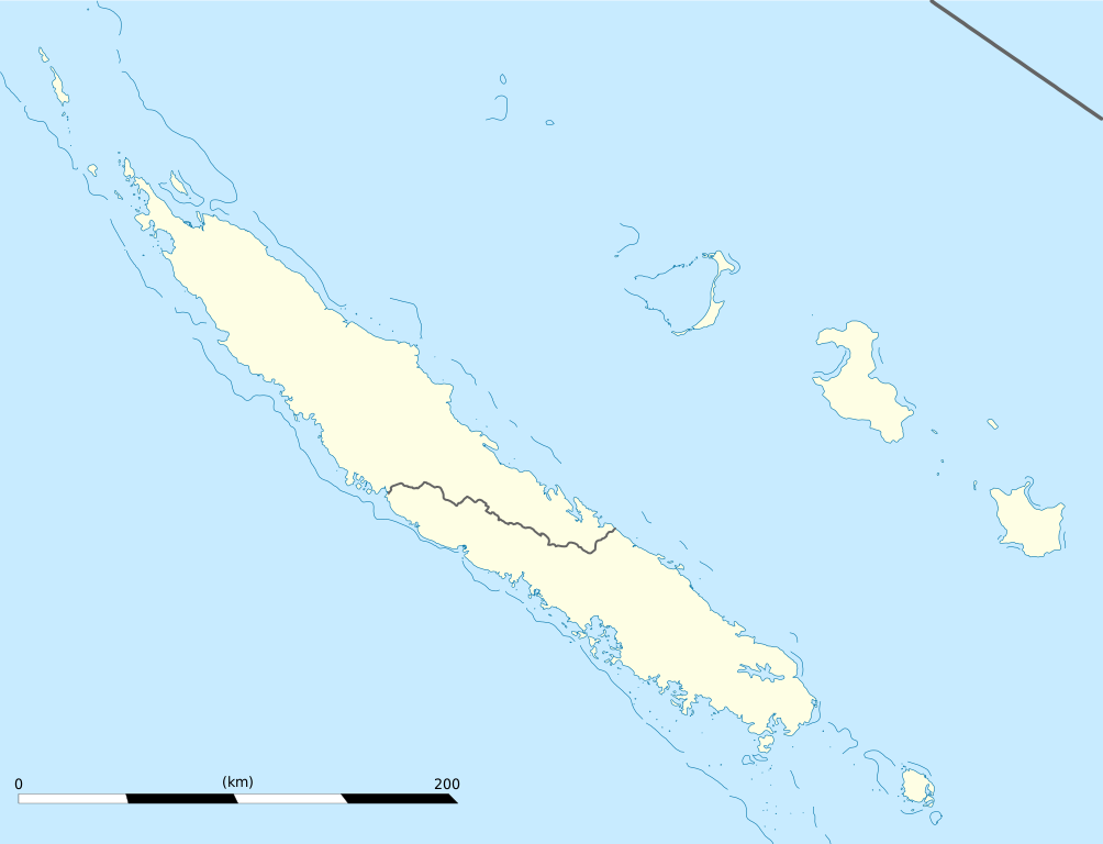
English: Blank administrative map of the territorial collectivity of New Caledonia, France, for geo-location purpose.
This is a map centered on the main islands. For a general map allowing to geo-locate the remote islands, see below. Français : Carte administrative vierge de la collectivité territoriale de Nouvelle-Calédonie, France, destinée à la géolocalisation. Ceci est une carte centrée sur les îles principales. Pour une carte générale permettant la géolocalisation des îles isolées, voir plus bas. Equirectangular projection, WGS84 datum
Geographic limits of the map:
|
||
| تاریخ | |||
| قایناق |
یوکلهیهنین اؤز ایشی
|
||
| یازار | Eric Gaba (Sting - fr:Sting) | ||
| ایجازه (فایلین تکرار ایستیفادهسی) |
|
||
| آیری نوسخهلر |
Derivative works of this file: Drapeau Province Nord Nouvelle Calédonie.svg
|

لیسانس
من، صاحب حقوق قانونی این اثر، به این وسیله این اثر را تحث اجازهنامههای ذیل منتشر میکنم:
بو فایل کریتیو کامانز مجوز ایله Attribution-Share Alike 3.0 اویغونلاشمامیش یاییملانیبدیر.
- سیزین ایجازه نیز وار دیر:
- بؤلۆشمک – اثرین کپی، پایلاشماق و چاتدیرماسی اوچون
- تلفیق ائت – اثرین توتوشدورماسی اوچون
- آشاغی داکی شرایطله:
- تخصیص – اثری مؤلف و یا لیسئنزییالی طرفیندن گؤستریلدیی کیمی ایستیناد ائتملیسینیز (آنجاق سنی دستکلدیینی و یا اثردن ایستیفاده ائتمیینیزی تکلیف ائتمملیسینیز).
- بیرگه پایلاشیم – اگر بو اثرده دَییشدیرمه، چؤندرمه، یا دا کؤکدن دوزلتمه ائتسز، اله گلمیش اثری یالنیز بیر ائشیت یوخسا اوخشار بیر مجوزین آلتیندا یاییملایابیلرسینیز .

|
اجازهٔ کپی، پخش و/یا تغییر این سند تحت شرایط مجوز مستندات آزاد گنو، نسخهٔ ۱٫۲ یا هر نسخهٔ بعدتری که توسط بنیاد نرمافزار آزاد منتشر شده؛ بدون بخشهای ناوردا (نامتغیر)، متون روی جلد، و متون پشت جلد، اعطا میشود. یک کپی از مجوز در بخشی تحت عنوان مجوز مستندات آزاد گنو ضمیمه شده است.
بو فایلین،
کوپیالانماسی، پایلانماسی و / و یا دییشدیریلمهسینه ایجازه وئریلمیشدیر. لیسئنزیانین بیر کوپیاسی،مجوز مستندات آزاد گنوباشلیقلی حیسهده ایشتیراک ائتمکدهدیر. |
ایستدیگینیز لیسئنزیانی سئچه بیلرسینیز.
فايل گئچمیشی
فايلین اولکی وئرسیياسینی گؤرمک اۆچون گۆن/تاریخ بؤلمهسیندهکی تاریخلری تێقلايین.
| تاریخ/واخت | کیچیک عکس | اؤلچولر | ایشلدن | باخیش | |
|---|---|---|---|---|---|
| ایندیکی | ۲۱ ژانویه ۲۰۰۹، ساعت ۱۹:۰۹ | | ۱٬۰۱۷ در ۷۷۸ (۱۴۴ کیلوبایت) | Sting | == Summary == {{Location|21|06|00|S|165|51|00|E|scale:2000000}} <br/> {{Information |Description={{en|Blank administrative map of the territorial collectivity of New Caledonia, France, for |
فايل ایشلدمهسی
بو فایلا هئچ بیر صفحهیه باغلانماییب.
فایلین باشاباش ایشلنیلمهسی
بو فایل آشاغی داکی آیری ویکی لرده ایشلَنیر:
- af.wikipedia.org-ده ایشلنمهسی
- als.wikipedia.org-ده ایشلنمهسی
- an.wikipedia.org-ده ایشلنمهسی
- ar.wikipedia.org-ده ایشلنمهسی
- ast.wikipedia.org-ده ایشلنمهسی
- az.wikipedia.org-ده ایشلنمهسی
- ba.wikipedia.org-ده ایشلنمهسی
- be-tarask.wikipedia.org-ده ایشلنمهسی
- be.wikipedia.org-ده ایشلنمهسی
- bg.wikipedia.org-ده ایشلنمهسی
- bn.wikipedia.org-ده ایشلنمهسی
- bs.wikipedia.org-ده ایشلنمهسی
- ceb.wikipedia.org-ده ایشلنمهسی
بو فایلینسراسری ایستفاده لرینه باخین.