فایل:Pays de la Loire region location map.svg

حجم پیشنمایش PNG این SVG file:۶۱۹ × ۵۹۹ پیکسل آیری کیفیتلر: ۲۴۸ × ۲۴۰ پیکسل | ۴۹۶ × ۴۸۰ پیکسل | ۷۹۳ × ۷۶۸ پیکسل | ۱٬۰۵۸ × ۱٬۰۲۴ پیکسل | ۲٬۱۱۵ × ۲٬۰۴۸ پیکسل | ۱٬۵۴۶ × ۱٬۴۹۷ پیکسل.
فایلین اصلی (SVG فایلی، ۱٬۵۴۶ × ۱٬۴۹۷ پیکسئل، فایلین اؤلچوسو: ۷۷۱ کیلوبایت)
قیساسی
| آچیقلاما |
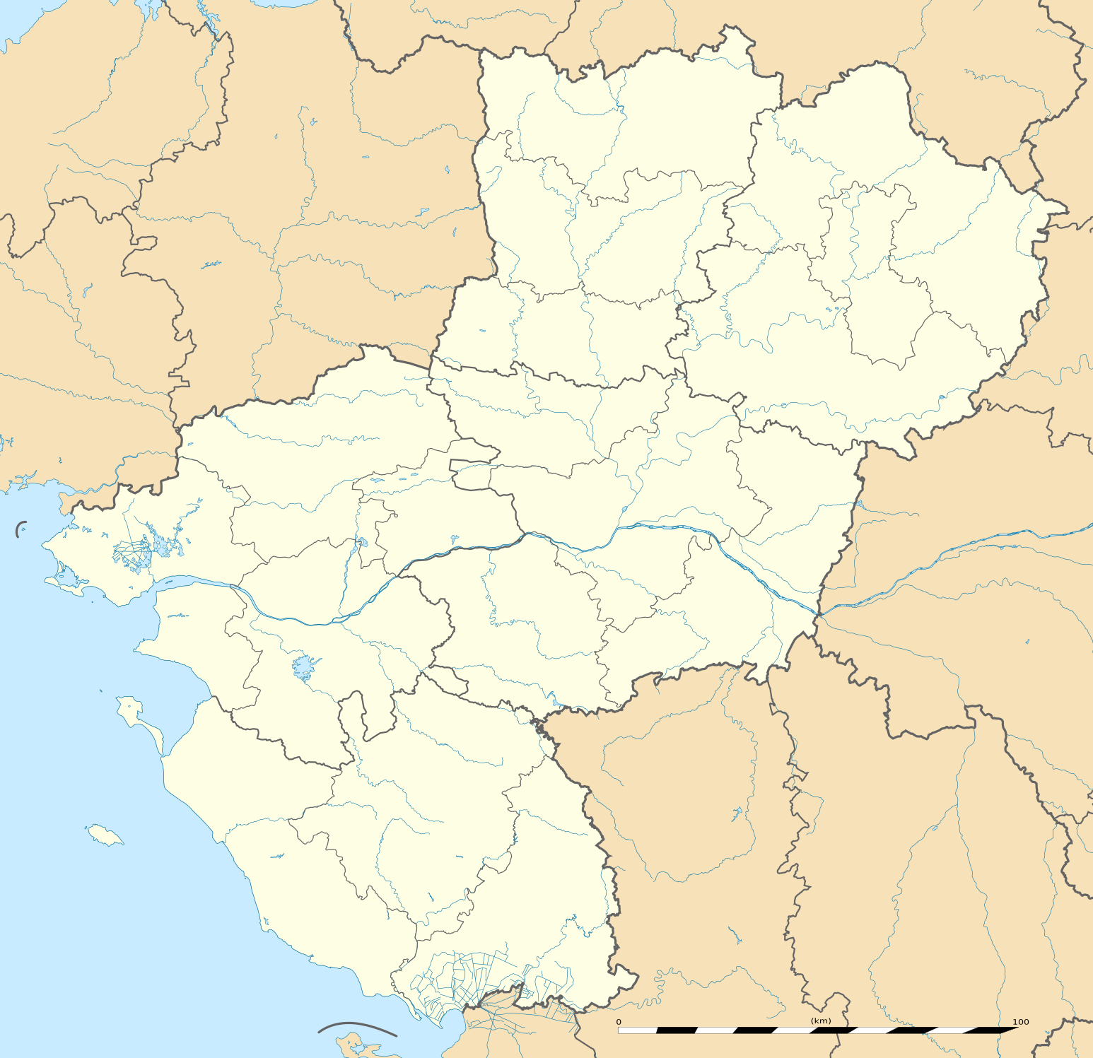
English: Blank administrative map of the region of Pays de la Loire, France, as in February 2011, for geo-location purpose, with distinct boundaries for regions, departments and arrondissements.
Français : Carte administrative vierge de la région des Pays de la Loire, France, telle qu'en février 2011, destinée à la géolocalisation, avec limite distincte des régions, départements et arrondissements. Estimated scale: 1:720,000 (precision: 180 m)
Geographic limits of the map:
|
||
| تاریخ | |||
| قایناق |
یوکلهیهنین اؤز ایشی
|
||
| یازار | Eric Gaba (Sting - fr:Sting) | ||
| ایجازه (فایلین تکرار ایستیفادهسی) |
|
||
| آیری نوسخهلر |
|

| مختصات دوربین | | محل قرارگیری این نگاره و سایر نگارهها در: نقشهٔ شهری باز |
|---|
لیسانس
Eric Gaba, Wikimedia Commons user Sting، صاحب حقوق قانونی این اثر، به این وسیله آن را تحت اجازهنامهٔ زیر منتشر میکند:
بو فایل کریتیو کامانز مجوز ایله Attribution-Share Alike 3.0 اویغونلاشمامیش یاییملانیبدیر.
موجَویز: Eric Gaba, Wikimedia Commons user Sting
- سیزین ایجازه نیز وار دیر:
- بؤلۆشمک – اثرین کپی، پایلاشماق و چاتدیرماسی اوچون
- تلفیق ائت – اثرین توتوشدورماسی اوچون
- آشاغی داکی شرایطله:
- تخصیص – اثری مؤلف و یا لیسئنزییالی طرفیندن گؤستریلدیی کیمی ایستیناد ائتملیسینیز (آنجاق سنی دستکلدیینی و یا اثردن ایستیفاده ائتمیینیزی تکلیف ائتمملیسینیز).
- بیرگه پایلاشیم – اگر بو اثرده دَییشدیرمه، چؤندرمه، یا دا کؤکدن دوزلتمه ائتسز، اله گلمیش اثری یالنیز بیر ائشیت یوخسا اوخشار بیر مجوزین آلتیندا یاییملایابیلرسینیز .
فايل گئچمیشی
فايلین اولکی وئرسیياسینی گؤرمک اۆچون گۆن/تاریخ بؤلمهسیندهکی تاریخلری تێقلايین.
| تاریخ/واخت | کیچیک عکس | اؤلچولر | ایشلدن | باخیش | |
|---|---|---|---|---|---|
| ایندیکی | ۲ مارس ۲۰۱۱، ساعت ۱۳:۵۱ | | ۱٬۵۴۶ در ۱٬۴۹۷ (۷۷۱ کیلوبایت) | Sting | == {{int:filedesc}} == {{Information |Description={{en|Blank administrative map of the region of Pays de la Loire, France, as in February 2011, for geo-location purpose, with distinct boundaries for regions, departments and arrond |
فايل ایشلدمهسی
آشاغیداکی 11 صحیفهلر بو فایلا باغلانیرلار
فایلین باشاباش ایشلنیلمهسی
بو فایل آشاغی داکی آیری ویکی لرده ایشلَنیر:
- als.wikipedia.org-ده ایشلنمهسی
- ar.wikipedia.org-ده ایشلنمهسی
- bg.wikipedia.org-ده ایشلنمهسی
- bn.wikipedia.org-ده ایشلنمهسی
- ceb.wikipedia.org-ده ایشلنمهسی
- cy.wikipedia.org-ده ایشلنمهسی
- de.wikipedia.org-ده ایشلنمهسی
- el.wikipedia.org-ده ایشلنمهسی
- en.wikipedia.org-ده ایشلنمهسی
- Le Mans
- Nantes
- Saumur
- Angers
- Doué-la-Fontaine
- La Baule-Escoublac
- Saint-Nazaire
- Gennes, Maine-et-Loire
- Laval, Mayenne
- La Roche-sur-Yon
- Île d'Yeu
- Châteaubriant
- Noirmoutier-en-l'Île
- Mayenne (commune)
- Solesmes, Sarthe
- Savennières
- Les Sables-d'Olonne
- Fontenay-le-Comte
- Sucé-sur-Erdre
- Nesmy
- Ancenis
- Bouguenais
- Champagné, Sarthe
- Vue, Loire-Atlantique
- Nantes Atlantique Airport
- Cholet
- Le Puy-Notre-Dame
- Saint-Hilaire-de-Loulay
- Terval
- Clisson
- Vivoin
- Oisseau
- La Flèche
- Fontevraud-l'Abbaye
- Sablé-sur-Sarthe
- Combrée
- Mulsanne
- Vertou
- Aron, Mayenne
بو فایلینسراسری ایستفاده لرینه باخین.